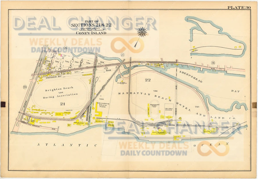


1908 BROOKLYN NY ATLAS MAP | CLINTON HILL, BEDFORD STUYVESANT | FORT GREENE ++


This page is from an original 100 year old Atlas crafted on an old-fashioned linen paper. This antique is 100% authentic and well kept. There might be light marks on the edges of the page. The Map itself within the outer line is in excellent condition.
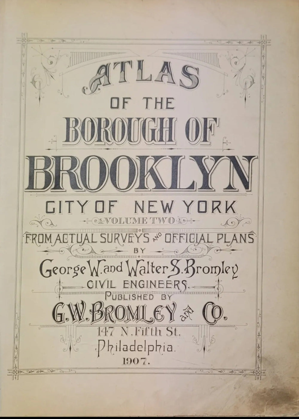
This came from the Atlas of Brooklyn, City of New York - Volume 1. This map is from the Actual Survey & Official Plans of 1908. Civil Engineers: George W. and Walter S. Bromley. Published by G.W. Bromley and Co. Located printed: 147 N. Fifth Street Philadelphia.
This posting is for an authentic Plate 8 of the Atlas. The title page is listed is shown for reference & viewing purposes only.
Areas Covered in this posting (Part of Section 6 & 7):


