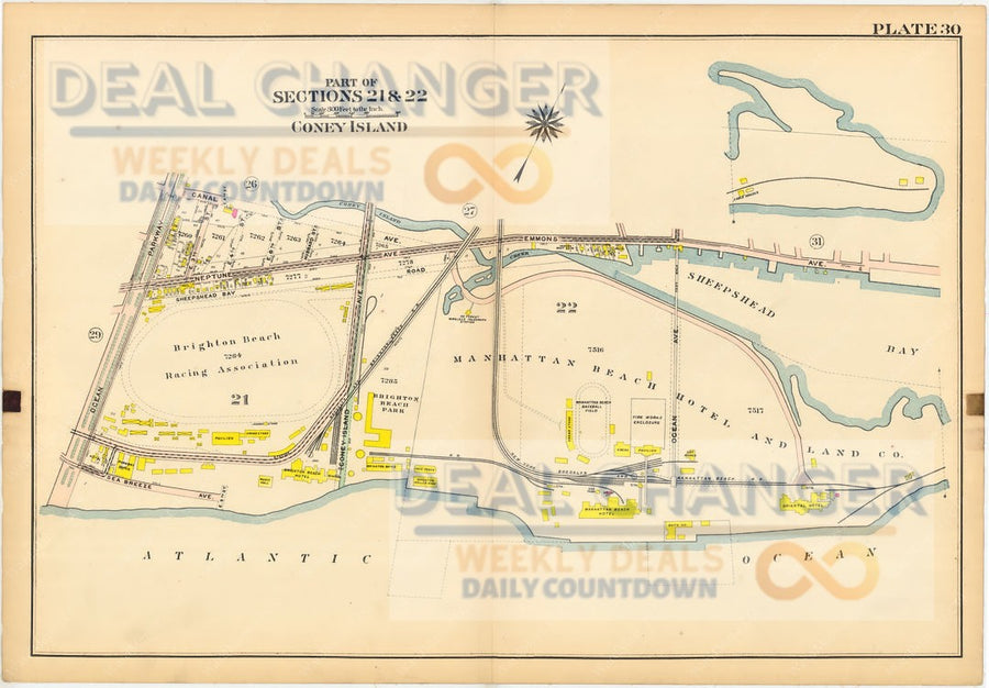
You are looking at an original Vintage Map of Brooklyn dated 1908. Not only is this atlas over 100 years old, all of the maps have been printed on original Linen paper.
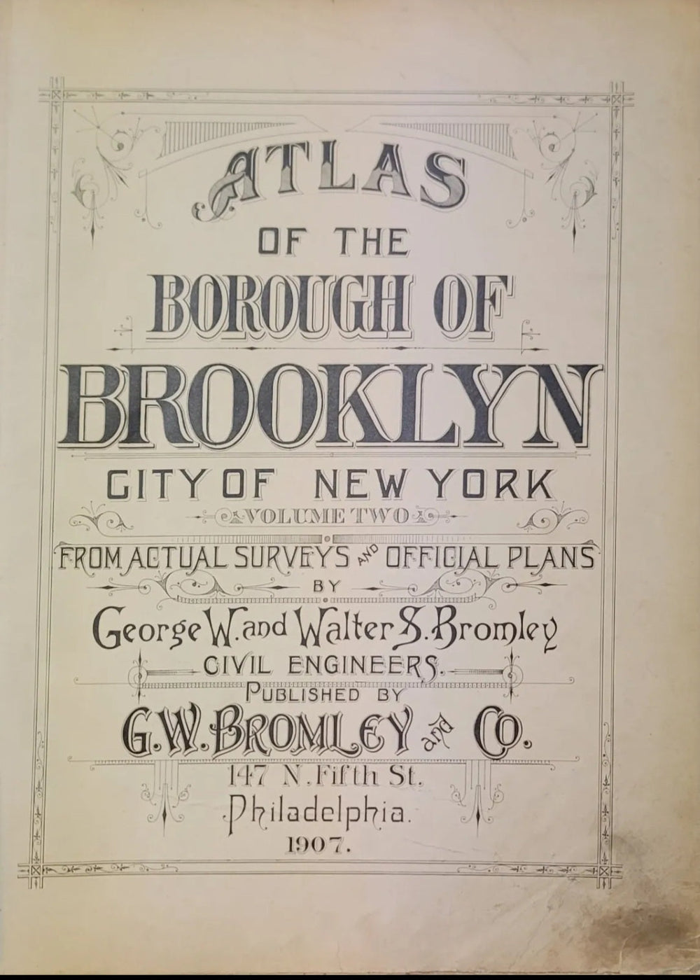
This came from the Atlas of Brooklyn, City of New York - Volume 1. This map is from the Actual Survey & Official Plans of 1908. Civil Engineers: George W. and Walter S. Bromley. Published by G.W. Bromley and Co. Located printed: 147 N. Fifth Street Philadelphia.
This posting is for an authentic Plate 32 of the Atlas. The measurements are 22.5" by 32". The title page is listed being shown for reference & viewing purposes only.
Areas Covered in this posting (Part of Section 3):
- New York Bay
- Streets 17th to 32nd Street ending at Prospect Avenue
- Avenues 5th - 2nd then the New York Bay
- Hamilton Avenue
- ++++++++
You may also like
More from Bromley & Co.
More from Collectibles & Memorabilia
Recently viewed


